 Get app
 Photo: U.S. Air Force, Wikimedia Commons, Public domain.
Think you know how your phone maps the world? Take a journey into orbit and test your knowledge on the satellites, history, and science behind the Global Positioning System.
Orbit Curious 0–4 · Signal Seeker 5–8 · Master Navigator 9–10
Pick one

A common myth is that GPS receivers talk to satellites. In reality, GPS is a completely passive system: the satellites constantly broadcast time and orbit data, and your phone simply listens. Your phone calculates your position locally without sending any data back to space. This is why GPS works even when you have absolutely no cellular service.
Photo: Humberto Möckel, Wikimedia Commons, CC BY-SA 3.0.
Pick one
Galileo is Europe's state-of-the-art global navigation satellite system, which went live in 2016. Unlike GPS, which is run by the United States military, Galileo is designed primarily for civilian and commercial use, offering extreme precision down to the centimeter level for high-end users.
Pick one
Gravity is weaker high above Earth, which makes satellite clocks tick faster by about 45 microseconds a day. Even though their high speed slows them down by 7 microseconds due to special relativity, the net effect is they run 38 microseconds fast per day. Engineers must program a constant correction into the satellite clocks before launch to keep GPS coordinates from drifting.
Photo: NASA, Wikimedia Commons, Public domain.

Pick one
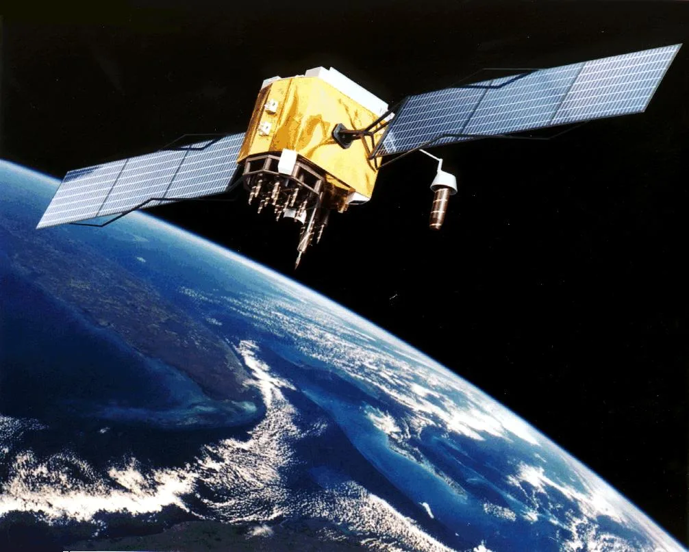
Three satellites would be enough if your phone had a perfect atomic clock; the fourth signal lets the receiver correct its own cheaper clock. With around 30 GPS satellites in orbit, at least four are in view from almost anywhere on Earth.
Photo: U.S. Air Force, Wikimedia Commons, Public domain.
Pick one
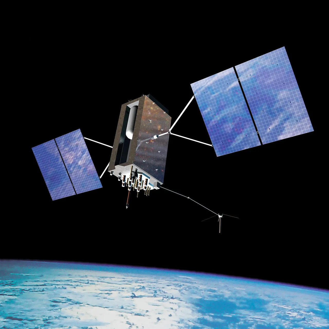
The US Department of Defense officially initiated the program under the name NAVSTAR GPS, which stands for Navigation System with Timing and Ranging. Transit was actually an earlier, separate satellite navigation system used by the US Navy starting in the 1960s. The first experimental Navstar satellite was launched into orbit in 1978.
Photo: U.S. Air Force, Wikimedia Commons, Public domain.
Pick one
The first experimental Block I GPS satellite was launched in February 1978. It took about seventeen more years and dozens of launches before the system was declared fully operational in 1995. Today, newer generations of satellites keep replacing the old ones to keep GPS accurate.
Photo: Paulsava, Wikimedia Commons, CC BY-SA 4.0.
Pick one
Gladys West programmed the computers that calculated the precise shape of the Earth, known as a geoid. Without this highly detailed mathematical model, GPS calculations would not be accurate enough to pinpoint locations on our planet's surface. In 2018, she was formally inducted into the United States Air Force Space and Missile Pioneers Hall of Fame.

Photo: Adrian Cadiz, Wikimedia Commons, Public domain.
Pick one
GPS signals are transmitted in the microwave range, specifically on frequencies known as the L-band. Microwaves are perfect for this job because they can easily penetrate clouds, rain, and plastic casings, though they struggle with dense foliage and concrete walls. Shortwave frequencies are used for long-distance international radio broadcasts instead.
Pick one
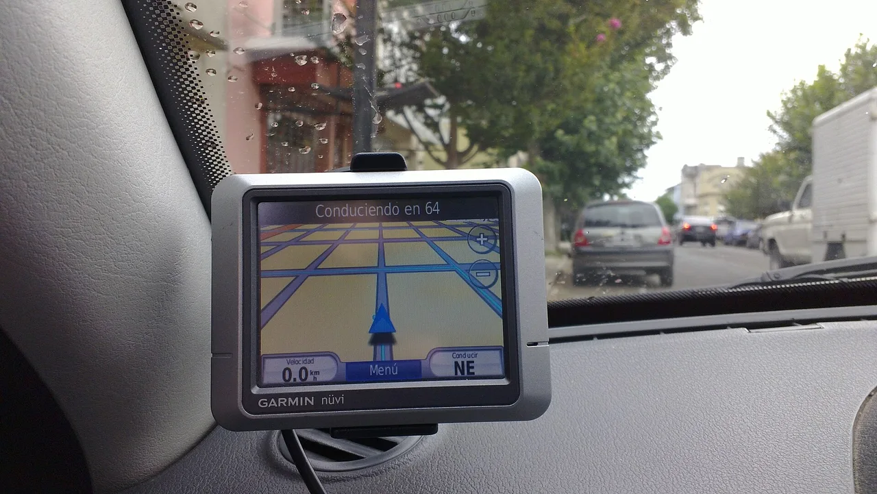
The Magellan NAV 1000 made history when it hit the market in 1989, weighing about 700 grams and costing around $3,000. It was mainly designed for boaters and could only run for a few hours on AA batteries. Garmin's early models, like the GPS 50, followed shortly after, kicking off the competitive consumer navigation market.
Pick one
GPS satellites operate in Medium Earth Orbit at an altitude of approximately 20,200 kilometers. This orbit is ideal because it keeps the satellites high enough to cover large areas of the planet while allowing them to complete a full orbit every 12 hours. Geostationary satellites, by contrast, sit much higher up and remain fixed over a single spot on the equator.


Paste the code into your page. The player fits itself in, and every vote counts in Votur.
On WordPress, Ghost or Squarespace? Just paste the link of this page into your post.
This is how it looks
Also fun