 Get app
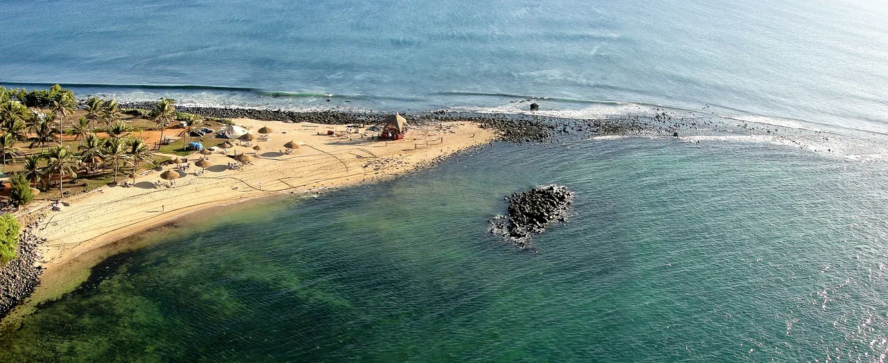
 Photo: Cliff Hansen, Wikimedia Commons, CC BY-SA 4.0.
Explore the fascinating history, unique geography, and vibrant culture of the Marshall Islands, a stunning Micronesian nation with a deep connection to the Pacific Ocean.
Island Explorer 0–4 · Lagoon Navigator 5–8 · True Atoll Expert 9–10
Pick one

Majuro is the vibrant capital of the Marshall Islands, home to a large portion of the nation's population. It features a large lagoon and a highly developed infrastructure compared to the outer islands. Kwajalein, while also a major atoll, primarily serves as a key military installation leased by the United States.
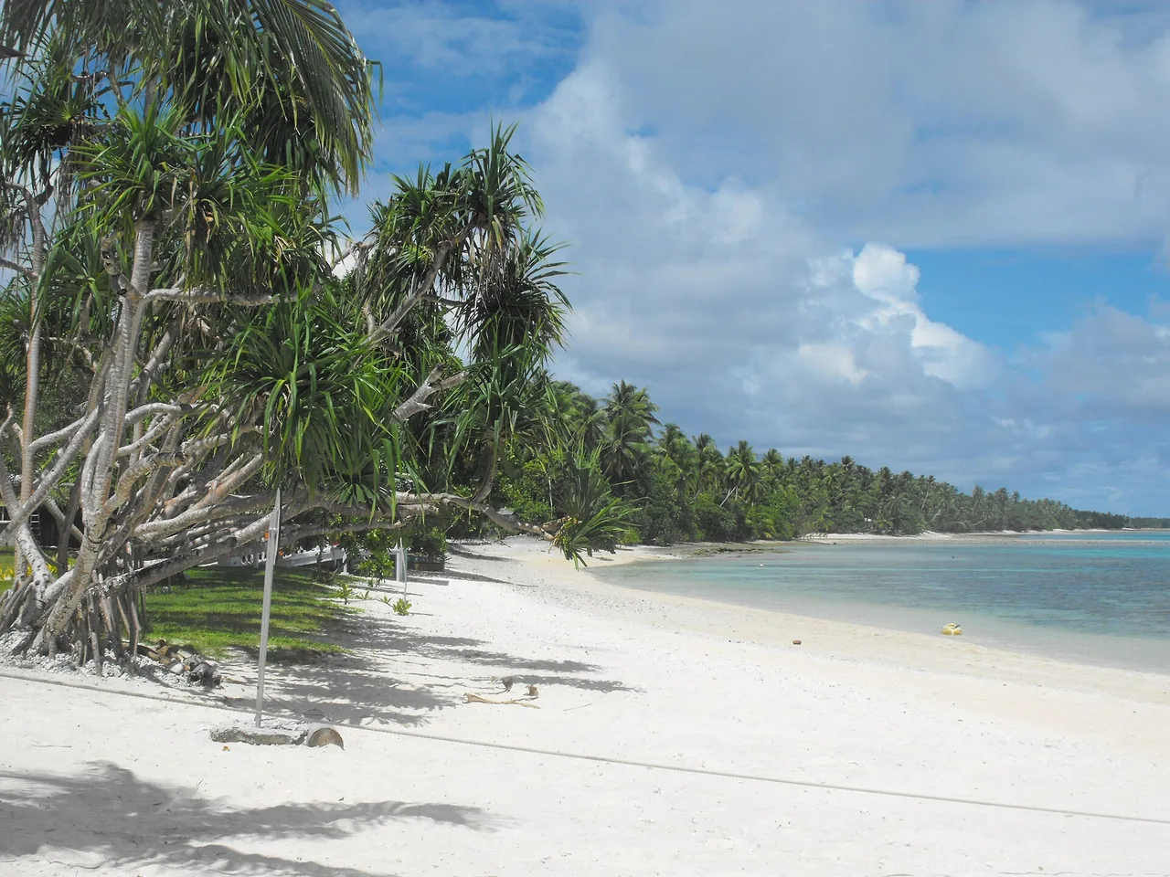
Photo: Cliff Hansen, Wikimedia Commons, CC BY-SA 4.0.
Pick one
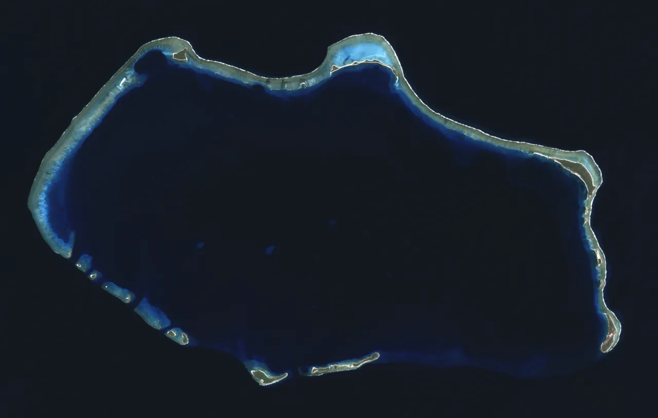
Bikini Atoll was the site of the Castle Bravo test, which was the most powerful nuclear device ever detonated by the United States. The explosion was far more powerful than predicted, causing widespread environmental impacts. Enewetak Atoll also hosted numerous nuclear tests but was not the site of Castle Bravo.
Photo: NASA, Wikimedia Commons, Public domain.
Pick one
The whole country lies on average only about 2 metres above sea level, lower than a basketball hoop. The sea is slowly rising, and a rise of just one metre would put many buildings permanently under water, which worries the Marshallese a lot.
Photo: Keith Polya, Wikimedia Commons, CC BY 2.0.
Pick one
Marshallese stick charts are legendary navigation aids made of coconut fronds and shells. They did not show geographical distances but instead represented the complex wave and swell patterns of the Pacific Ocean. Navigators memorized these charts before setting sail, allowing them to navigate by feel.
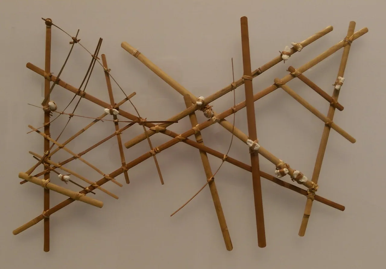
Photo: Cullen328, Wikimedia Commons, CC BY-SA 3.0.
Pick one
The Marshall Islands are divided into two parallel chains: the Ratak (sunrise) chain to the east and the Ralik (sunset) chain to the west. The Ratak Chain includes Majuro and Wotje, while the Ralik Chain includes Kwajalein and Bikini. This geographical division has influenced local dialects and traditional political alliances.
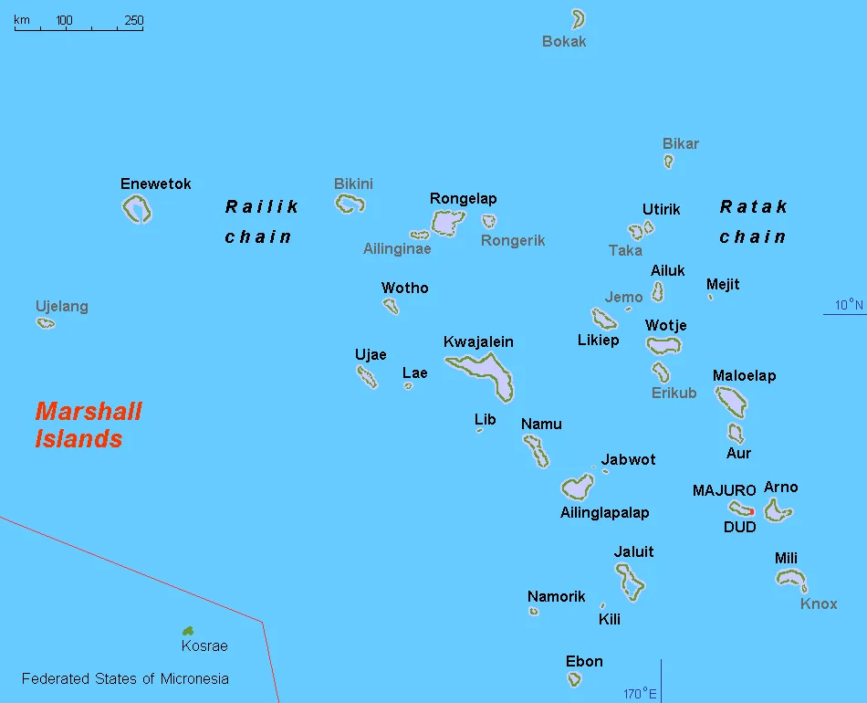
Photo: Hobe / Holger Behr, Wikimedia Commons, Public domain.
Pick one
Jaki-ed mats are beautiful, fine textiles woven from the leaves of the pandanus plant. These mats traditionally served as clothing, wealth items, and prestigious gifts. While coconut leaves are widely used for quick, everyday weaving projects, pandanus leaves are preferred for their durability and softness in fine weaving.
Pick one
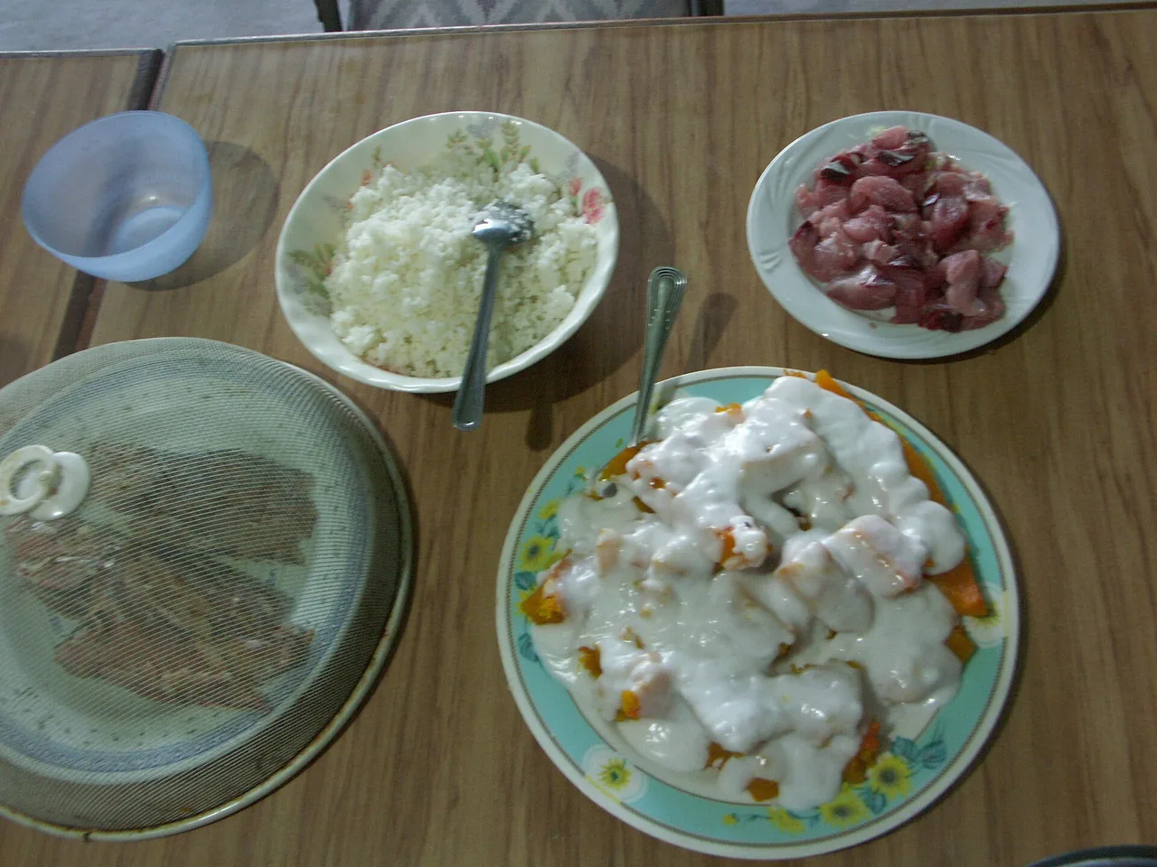
Giant swamp taro, or iaraj, is a highly valued root crop in the Marshall Islands, grown in specially excavated freshwater pits. It is a labor-intensive crop reserved for special feasts and traditional gatherings. Sweet potatoes are grown in some Pacific islands but do not hold the same cultural status in the Marshallese diet.
Photo: Christopher Johnson from Tokyo, Japan, Wikimedia Commons, CC BY-SA 2.0.
Pick one
Marshallese belongs to the Austronesian language family, specifically the Micronesian branch. This connects the Marshall Islands linguistically to a vast region stretching from Madagascar to Hawaii. The Trans-New Guinea family, by contrast, is found primarily on the island of New Guinea and is completely unrelated.
Pick one
Captain John Marshall sailed through the islands in 1788 on his way from Australia to China, and later sea charts named the islands after him. The Marshallese have their own name for their home: Aelōn̄ Kein Ad, meaning 'our islands'.
Photo: Cliff Hansen, Wikimedia Commons, CC BY-SA 4.0.
Pick one
Japan seized the Marshall Islands from Germany in 1914 during World War I and was later granted a League of Nations mandate to govern them. Japan heavily fortified many of the atolls before World War II. Germany had claimed the islands as a protectorate in 1885 but lost control at the start of the Great War.


Paste the code into your page. The player fits itself in, and every vote counts in Votur.
On WordPress, Ghost or Squarespace? Just paste the link of this page into your post.
This is how it looks
Also fun