 Get app
 Photo: Cliff Hansen, Wikimedia Commons, CC BY-SA 4.0.
Explore the fascinating geography, history, and vibrant culture of Majuro, the bustling atoll capital of the Marshall Islands!
Island Wanderer 0–4 · Lagoon Explorer 5–8 · Atoll Expert 9–10
Pick one

Breadfruit, known locally as ma, is a vital crop on the atoll. Historically, Marshallese people preserved surplus breadfruit by fermenting it in underground pits to create a paste that could last for years. This ensured a reliable food supply during droughts or after severe tropical storms.
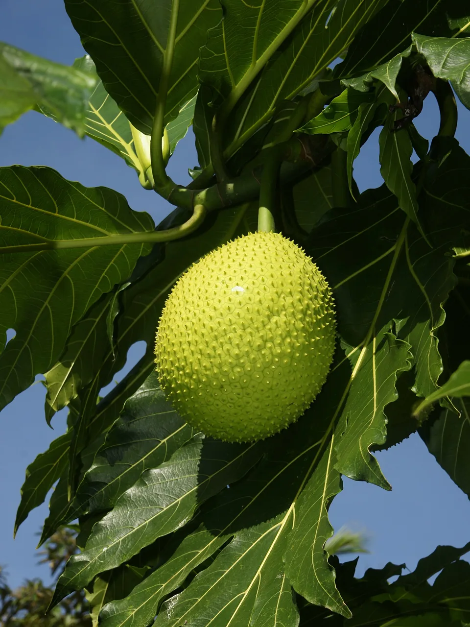
Photo: Hans Hillewaert, Wikimedia Commons, CC BY-SA 3.0.
Pick one
The giant clam (Tridacna gigas) can grow up to 1.2 meters long and weigh more than 200 kilograms. Majuro hosts specialized marine farms that cultivate these impressive creatures to help restore wild reef populations and support sustainable exports. They can live for over a hundred years in the wild.
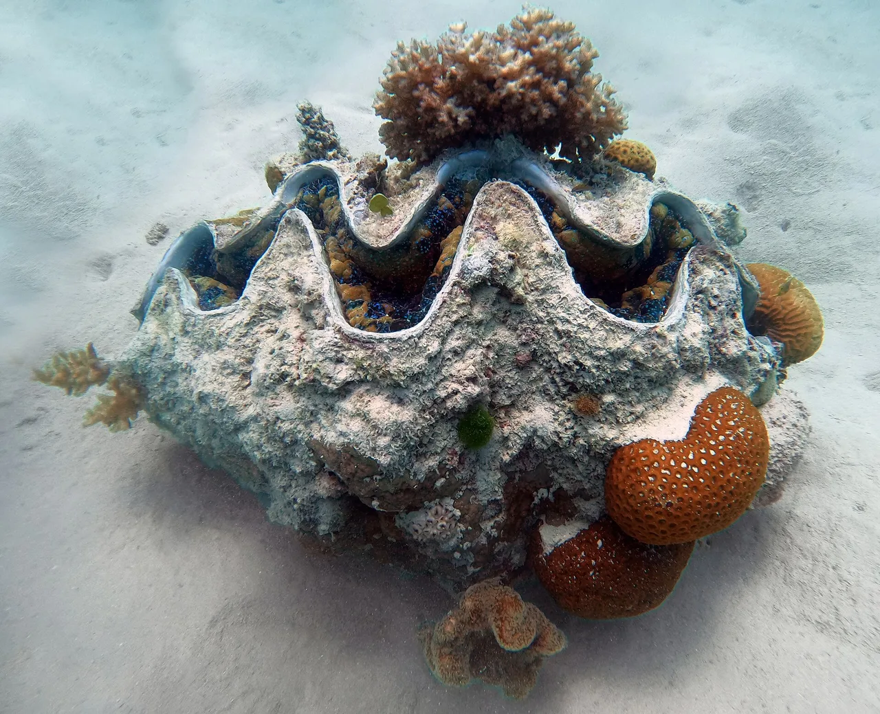
Photo: Charles J. Sharp, Wikimedia Commons, CC BY-SA 4.0.
Pick one
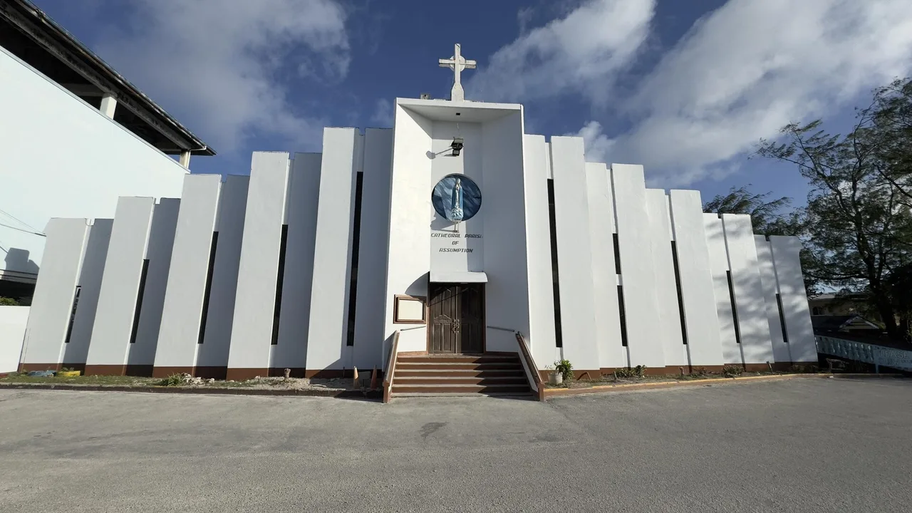
The Cathedral of the Assumption in Majuro is the seat of the Roman Catholic Prefecture Apostolic of the Marshall Islands. It stands as a major landmark in the urban center of the atoll. The cathedral is famous for its vibrant community gatherings and beautiful, locally styled interior decorations.
Photo: Prefecture Apostolic of Marshall Islands, Wikimedia Commons, CC0.
Pick one
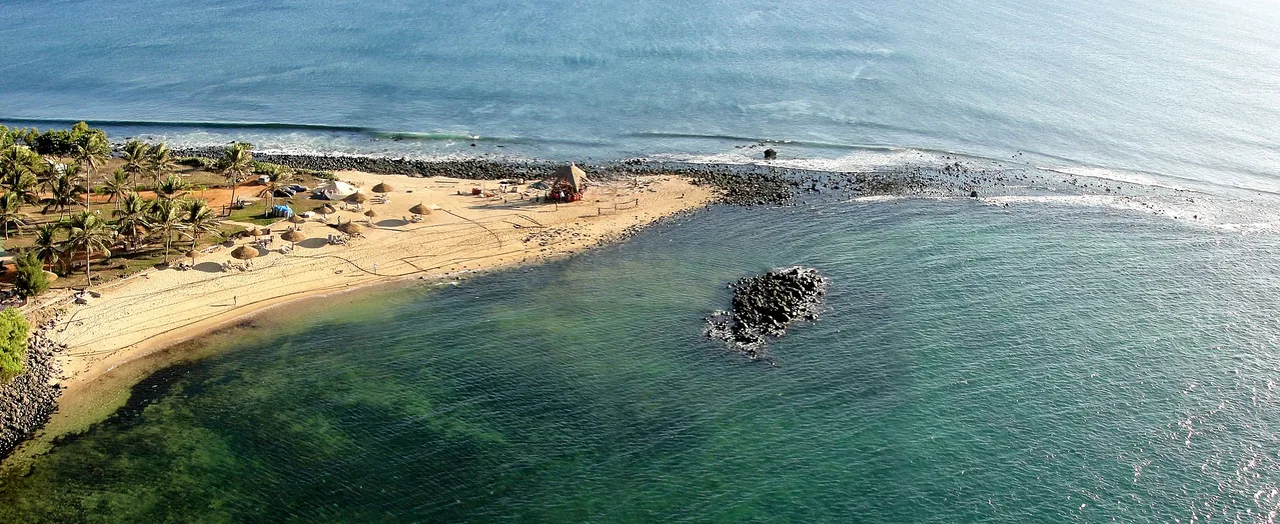
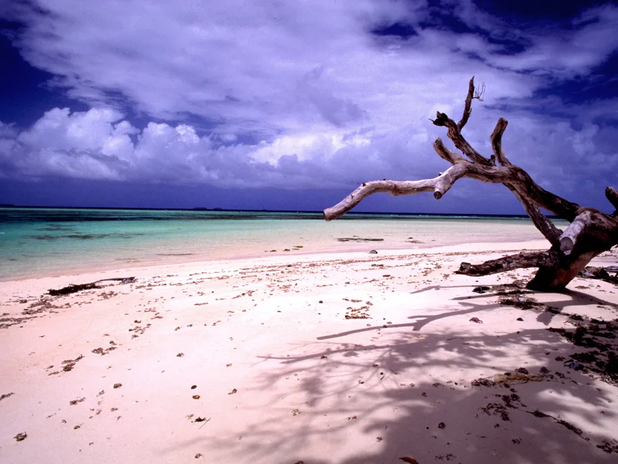
Laura is situated at the westernmost point of the atoll and is known for its soil fertility and lovely beaches. It stands in contrast to the highly urbanized eastern side of the atoll, known as the Delap-Uliga-Djarrit area. Laura also has the highest elevation on the atoll, though it is only about ten feet above sea level.
Photo: Stefan Lins from Tokyo, Japan, Wikimedia Commons, CC BY 2.0.
Pick one
Because atolls have no rivers or lakes, Laura relies on a freshwater lens, which is a layer of fresh groundwater that floats above the denser saltwater beneath the island. This lens is highly sensitive to drought and sea-level rise, making conservation a vital part of daily life for residents.
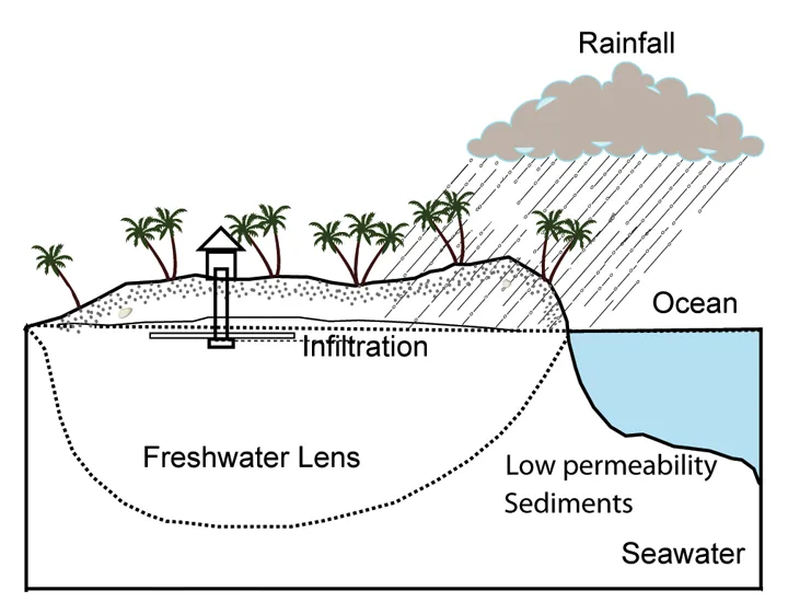
Photo: Global Climate Change Impacts in the United States (2009), Wikimedia Commons, Public domain.
Pick one
Located on the south side of the atoll, the airport is named after the nation's first president. The runway was built on a series of small islets that were joined together by landfill. This engineering feat created a continuous strip of land long enough for commercial passenger jets to land safely.
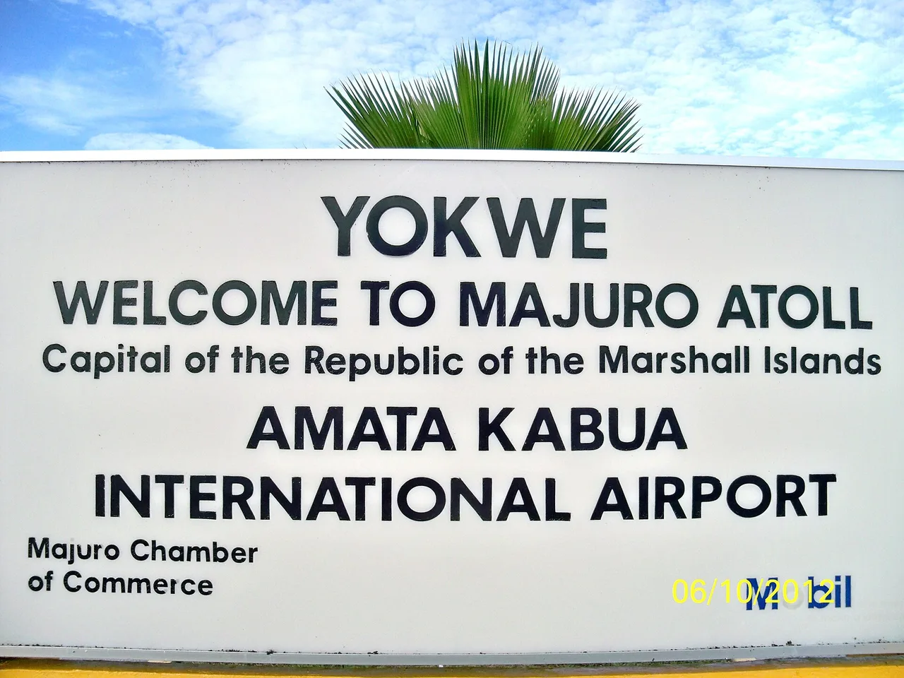
Photo: Fdoamerica, Wikimedia Commons, CC0.
Pick one
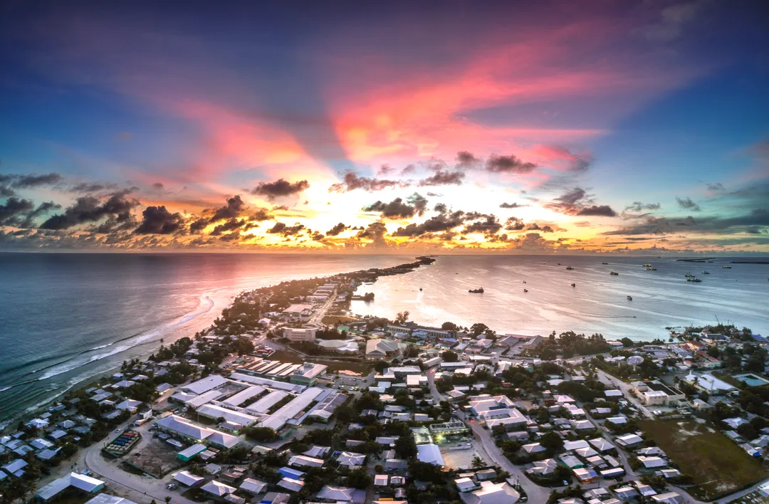
Following Germany's defeat in World War I, the League of Nations granted Japan a mandate over the Marshall Islands. During this era, Japan established schools and trading posts on Majuro before heavily fortifying other nearby atolls. Today, some old Japanese bunkers can still be found in the region.
Pick one
The Capitol Building, where the parliament (the Nitijela) meets, is located in Delap. This district is part of the busy Delap-Uliga-Djarrit strip on the eastern side of the atoll. In August 2025 a fire destroyed much of the building, and the country has started to rebuild it.
Photo: Jamison Logan, Wikimedia Commons, CC BY-SA 4.0.
Pick one
The walap is a big ocean-going outrigger canoe that could reach 30 metres long and carry up to 50 people with food for months at sea. Its keel is carved from a breadfruit log, and the planks are sewn together with coconut fibre. Fiji's drua is the only canoe said to rival it.
Pick one
The College of the Marshall Islands is a regionally accredited community college serving the nation. Its main campus is located in Uliga, providing crucial tertiary education and vocational training. The college plays a major role in preserving local culture by offering courses in the Marshallese language.


Paste the code into your page. The player fits itself in, and every vote counts in Votur.
On WordPress, Ghost or Squarespace? Just paste the link of this page into your post.
This is how it looks
Also fun