 Get app
 Photo: Jérôme Tcherniatinsky, Wikimedia Commons, Public domain.
 Presented by Hike5
From the manhole covers of Pont-à-Mousson to the passes of the Vanoise. How much do you know about the trail from the North Sea to Nice?
Valley walker 0–4 · Mountain hiker 5–8 · Mountain goat 9–10

Pick one

24 votes so far
Two white stripes above red is the GR marking: good path. A red-and-white cross means you should not go here, usually at a turn-off or side path. A hook to the left or right indicates a bend. Those who learn to read the crosses rarely get lost.
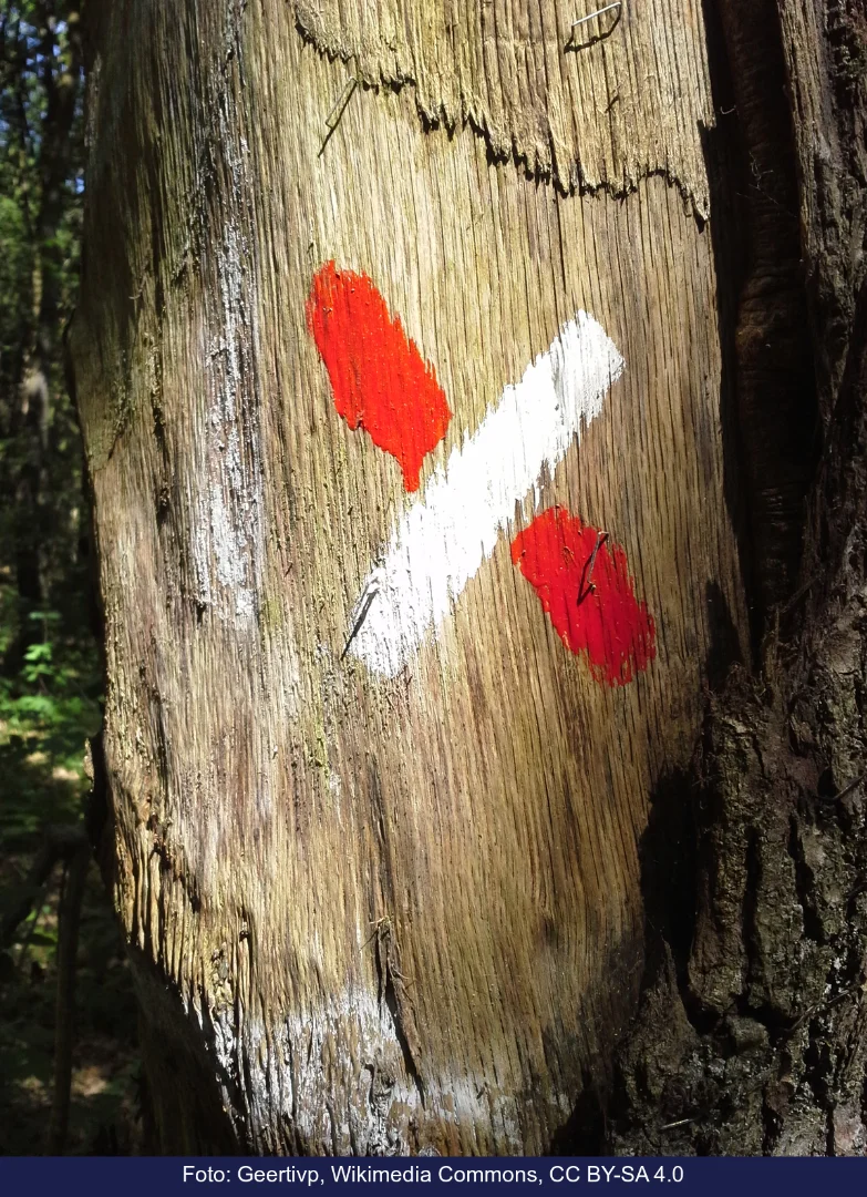

Pick one
21 votes so far
GR stands for Grande Randonnée, French for long hike. The network started in France in 1947 and has grown to tens of thousands of kilometers across Europe, recognizable by the white and red stripes. In the Netherlands and Flanders, they say Grote Routepaden, but the abbreviation is French.

Pick one
20 votes so far
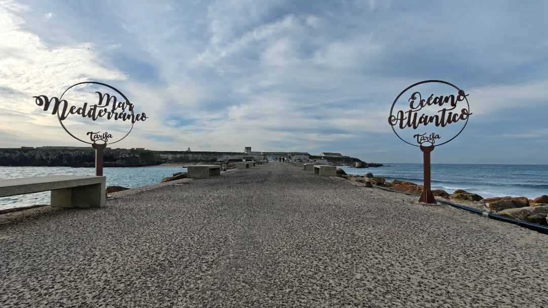
The Promenade des Anglais is the seven-kilometer-long boulevard of Nice, built in the nineteenth century with money from wintering English people. Here you set foot in the Mediterranean Sea after the last descent. The Croisette is located in Cannes, thirty kilometers away, and is mainly known for the film festival.
Pick one
21 votes so far
The GR5 runs from Hoek van Holland to Nice on the Mediterranean Sea, over 2,100 kilometers through the Netherlands, Belgium, Luxembourg, and France. Mark and Malou skipped the flat beginning: they started in Heerlen and walked in three stages to Spa, where they picked up the route.
Pick one
21 votes so far
In 1992, the first wolves were seen in Mercantour, having come on their own from Italy. Since then, packs have lived again in the French Alps, to the displeasure of some shepherds. The brown bear only lives in France in the Pyrenees, after reintroduction from Slovenia.
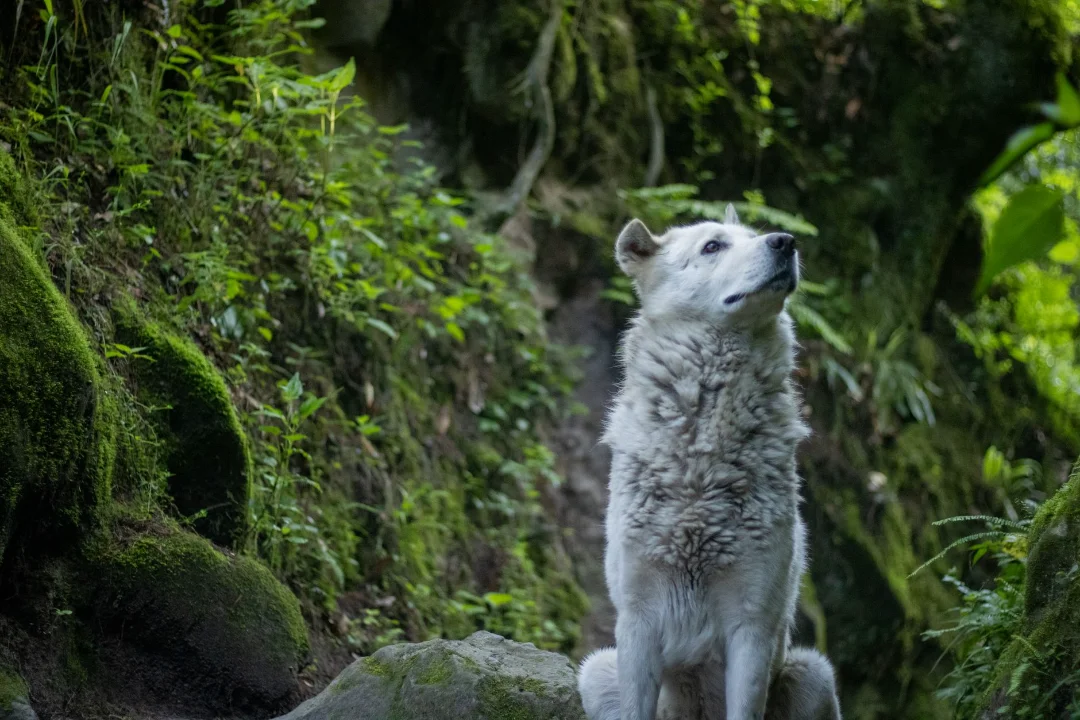

Pick one
21 votes so far
The Müllerthal, around Echternach, is called Little Switzerland because of its narrow gorges, rock formations, and wooded slopes. The Ösling in the north is the highlands of the Ardennes. The GR5 in Luxembourg follows this gorge-rich east, one of the most surprising parts of the entire route.

Pick one
21 votes so far
From Hoek van Holland to Nice, the GR5 is over 2,100 kilometers long. Sources differ slightly because the route is occasionally rerouted and there are variants, such as the GR52 to Menton. Those who walk it completely pass through the Netherlands, Belgium, Luxembourg, a few hundred meters of Germany and France, and skirt Switzerland.

Pick one
20 votes so far
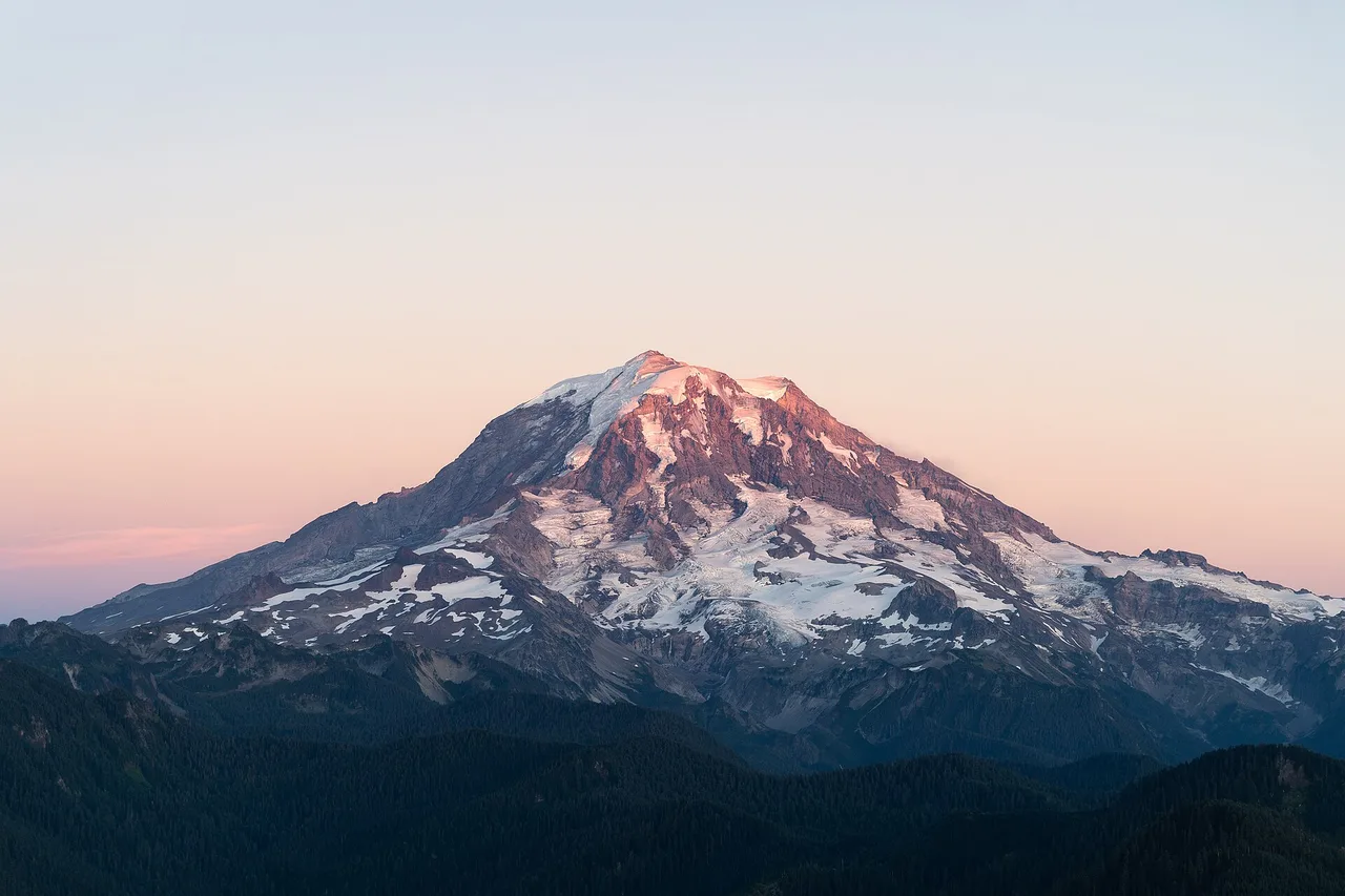
The Vanoise, France's first national park, is the highest part of the GR5: here lie the Col de l'Iseran and other passes above 2,500 meters. Mont Blanc is much higher as a mountain, but the GR5 runs below it, through the valleys of Les Houches and Les Contamines, and never reaches as high there as in the Vanoise.
Pick one
20 votes so far
The Col de l'Iseran in Vanoise is with over 2,700 meters the highest point of the GR5. The Col du Galibier is more famous among cyclists, but the GR5 does not pass there. Even in summer, there is often still snow on the path above the Iseran.
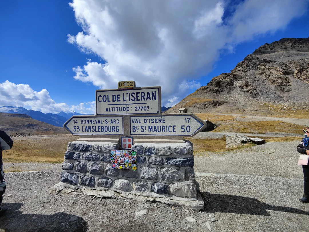
Pick one
23 votes so far
Look down: on manhole covers throughout France, Pont-à-Mousson is visible, the town in Lorraine where the Saint-Gobain PAM foundry has been casting cast-iron covers and pipes since 1856. Those walking the GR5 pass through the region and see the name under their feet all the way to Nice. Spa is also encountered often: the town itself is on the route and its name is on water bottles, but the manhole covers win by a large margin.
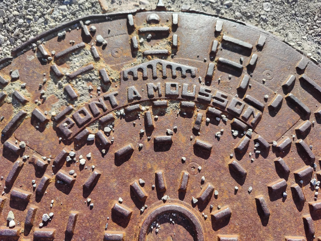


Paste the code into your page. The player fits itself in, and every vote counts in Votur.
On WordPress, Ghost or Squarespace? Just paste the link of this page into your post.
This is how it looks
Also fun