 Get app
 Photo: European Space Agency, Wikimedia Commons, Attribution.
Discover the fascinating history, unique geography, and vibrant culture of Tarawa, the captivating capital atoll of Kiribati in the central Pacific.
Island Explorer 0–4 · Lagoon Navigator 5–8 · Tarawa Expert 9–10
Pick one

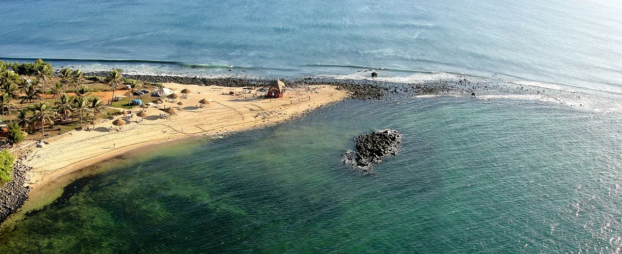
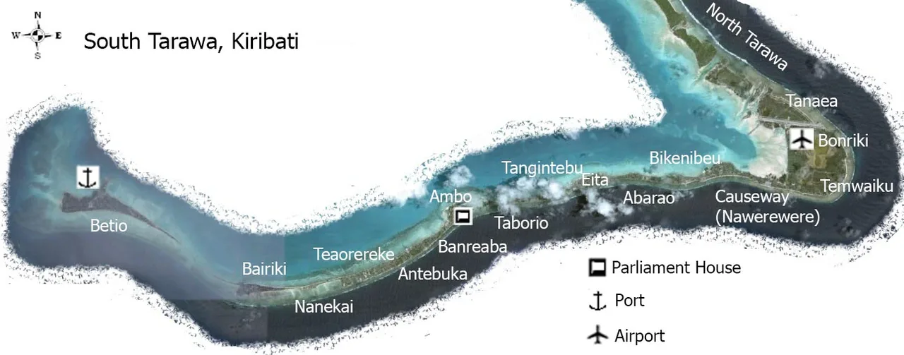
Tarawa Atoll is shaped roughly like a giant triangle. It consists of a continuous chain of islets on the southern and eastern sides, while the western side is a shallow reef that allows boats to enter the massive central lagoon. This unique shape means that almost every home on the atoll is just yards away from both the open ocean and the calm lagoon.
Pick one
Copra, which is the dried meat of the coconut, is the main agricultural export of Tarawa and the wider Kiribati nation. Coconut palms thrive in the sandy, saline soil of the atoll, making copra harvesting a vital source of income for many families. Once dried, the copra is shipped abroad to be processed into coconut oil and cosmetics.
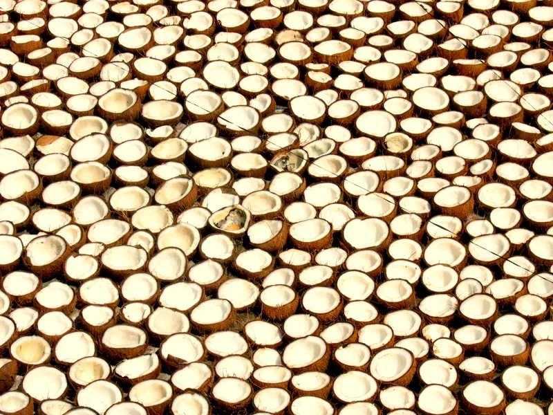
Photo: Dan Iserman, Wikimedia Commons, CC BY 2.0.
Pick one
Bairiki is home to the State House, which serves as the official residence and office of the President of Kiribati, as well as several government ministries. Often referred to as the administrative heart of the nation, Bairiki also features a bustling public square and the main post office, making it a central gathering point for locals.
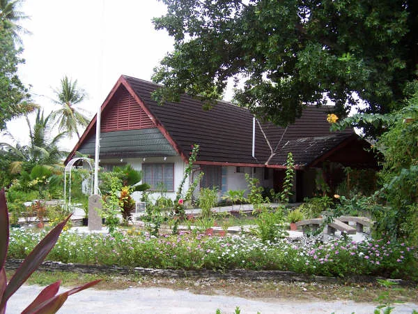
Photo: Jopolopy, Wikimedia Commons, CC BY 3.0.
Pick one
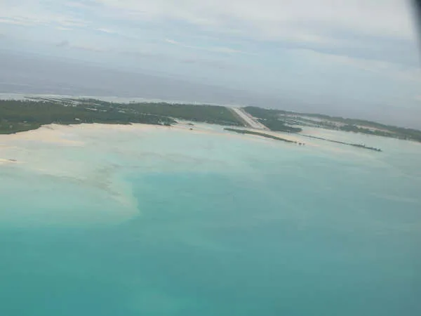
Bonriki International Airport is situated on the easternmost islet of South Tarawa. This airport connects the remote island nation of Kiribati to international hubs like Fiji and Nauru. Interestingly, because South Tarawa is so narrow, the runway takes up a significant portion of the islet's land area, making it a highly visible landmark from the air.
Photo: Jopolopy, Wikimedia Commons, CC BY 3.0.
Pick one
The Nippon Causeway is a vital transport link that connects the bustling port islet of Betio to Bairiki. Before this causeway was built, people and goods had to be transported by boat, which was highly dependent on the tides. The construction was funded through Japanese aid, which is why it is named the Nippon Causeway.
Pick one
The Reuben K. Uatioa Stadium, also called the Bairiki National Stadium, is the home of Kiribati's football teams and holds about 2,500 people. Its pitch is sand instead of grass, one of the reasons Kiribati has never played a home international match.
Pick one
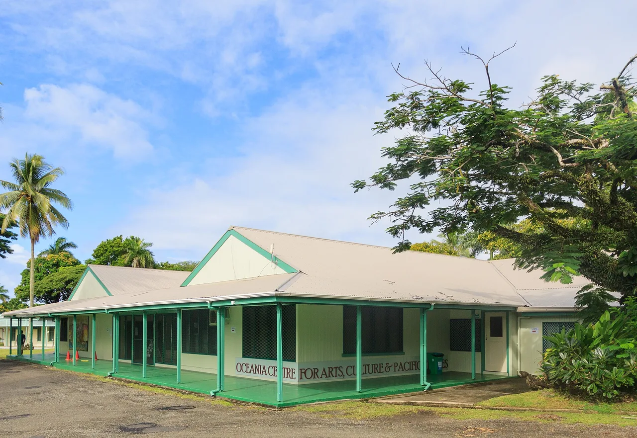
The University of the South Pacific (USP) has a vibrant campus in South Tarawa, offering degrees in fields like education, business, and environmental science. Since Kiribati is a co-owner of USP alongside 11 other Pacific island nations, this campus allows local students to earn internationally recognized degrees without having to leave their home country.
Photo: Matthias Süßen, Wikimedia Commons, CC BY-SA 3.0.
Pick one
Kiribati's parliament, the Maneaba ni Maungatabu, has met in its building in Ambo since 2000; before that it sat in Bairiki. The design is inspired by the maneaba, the traditional meeting house at the heart of every I-Kiribati village, and it stands right by the lagoon.
Pick one
Te Umanibong, also known as the Kiribati Cultural Museum, preserves traditional artifacts, weaving, and historical exhibits. It plays a vital role in keeping Gilbertese heritage alive for younger generations on the rapidly modernizing atoll, showcasing items like shark-tooth swords.
Pick one
The coastal defense guns on Betio were installed by the occupying Japanese forces to defend the island from an Allied invasion. Ironically, these massive weapons were actually British-made Vickers guns, which Japan had purchased from Great Britain during the early 20th century when the two nations were allies. Today, they remain as silent open-air museum pieces.
Photo: Government of USA, Government of Kiribati, Wikimedia Commons, Public domain.


Paste the code into your page. The player fits itself in, and every vote counts in Votur.
On WordPress, Ghost or Squarespace? Just paste the link of this page into your post.
This is how it looks
Also fun